Maps
Map development
The maps show areas where geese have been recorded in Svalbard, grouped according to different phases of the breeding season. The resolution is 5 x 5 km and provides present-absence data. The maps therefore do not provide information on the total number of geese in the different areas, as the frequency of observations at each site varies considerably.
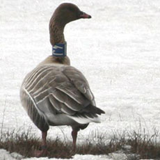
Pink-footed goose
Distribution maps based on observations
Distribution maps based on information from satellite-tagged geese
Distribution maps based on observations
Distribution maps based on information from satellite-tagged geese
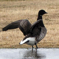 Light-bellied brent geese
Distribution maps based on observations
Distribution maps based on information from satellite-tagged geese